


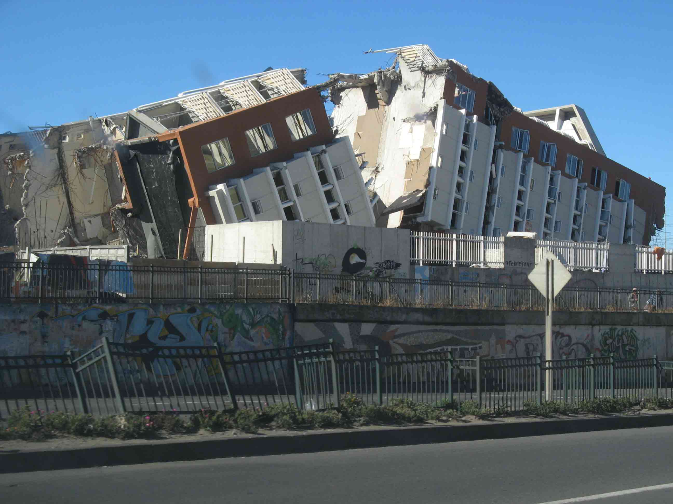
We characterize earthquake-triggered deposits (underwater landslides, turbidites) in marine and lake sediments, in order to use them for paleoseismic reconstructions. Understanding earthquake recurrence patterns – on time scales that are longer than the period of historical documentation – is crucial to estimate the current seismic hazard of a region. While our focus is on subduction settings, we also work in active rifts, in strike-slip environments and in low-seismicity intraplate environments.
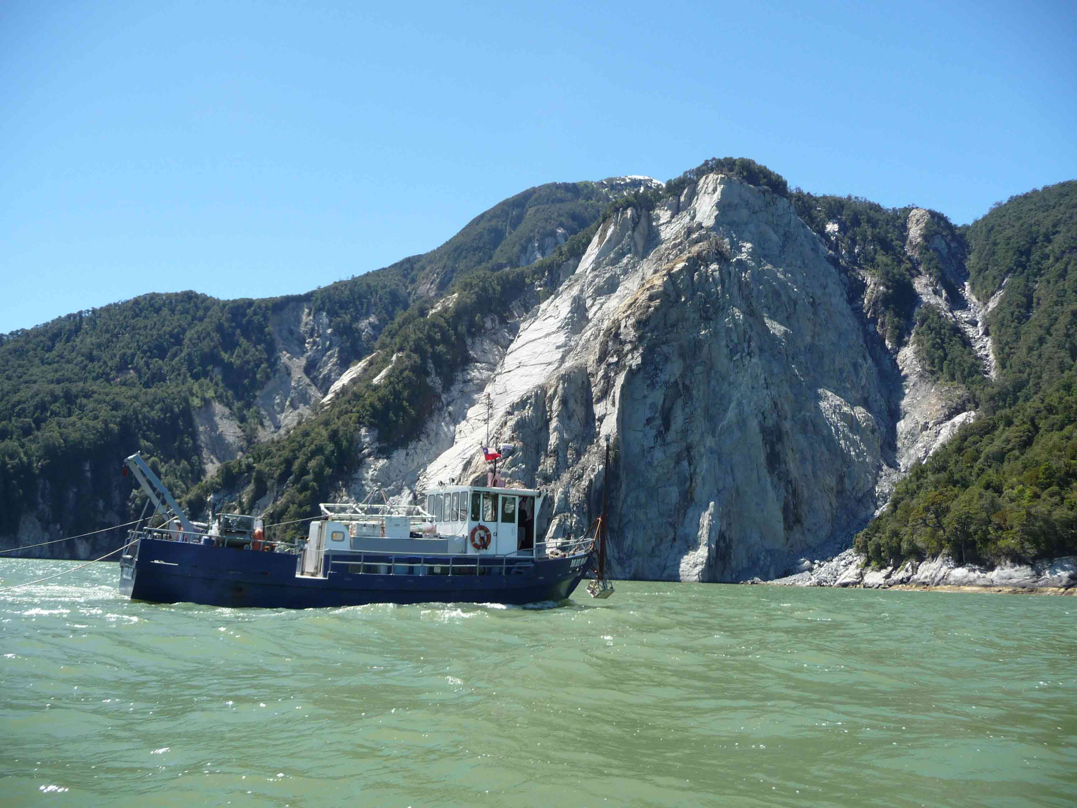
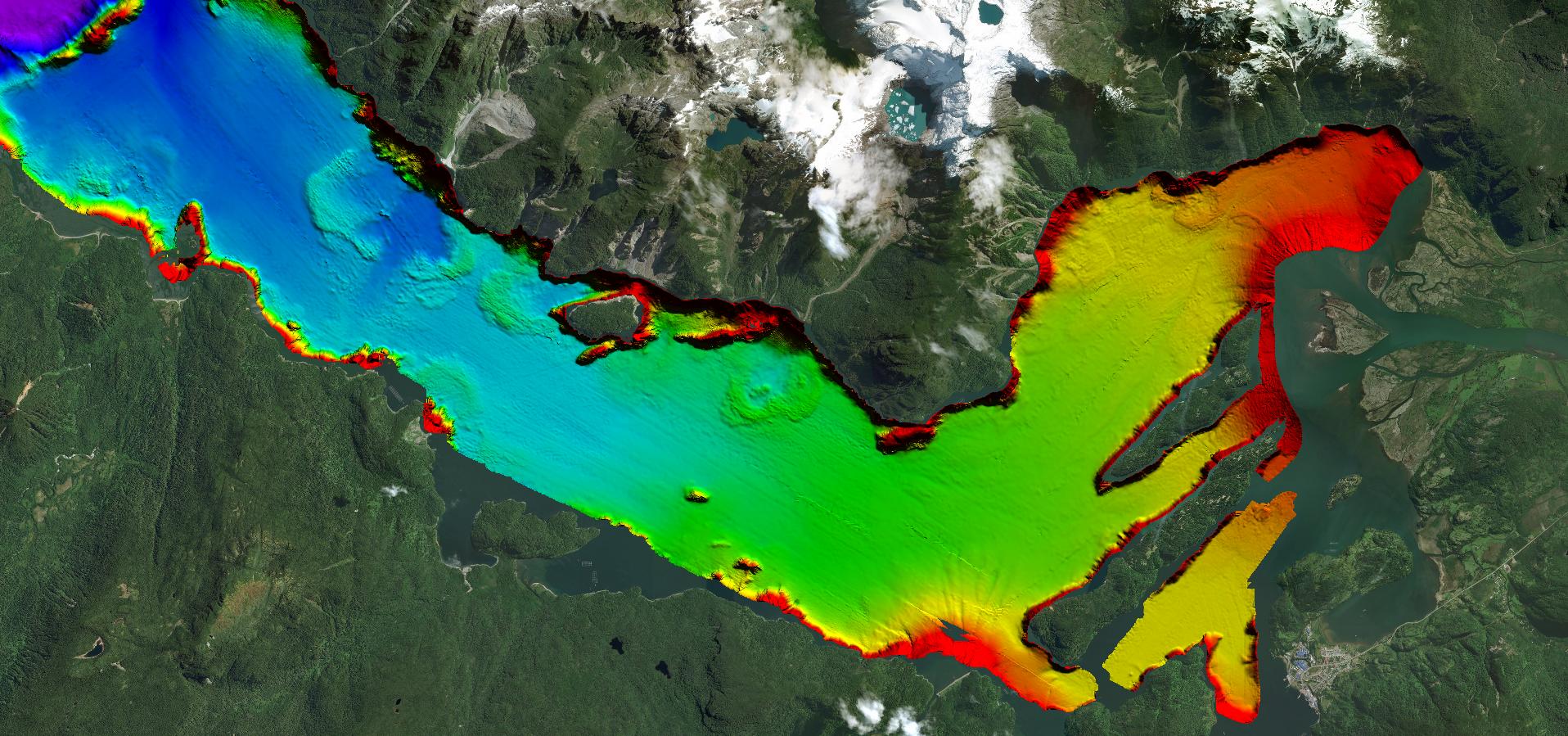
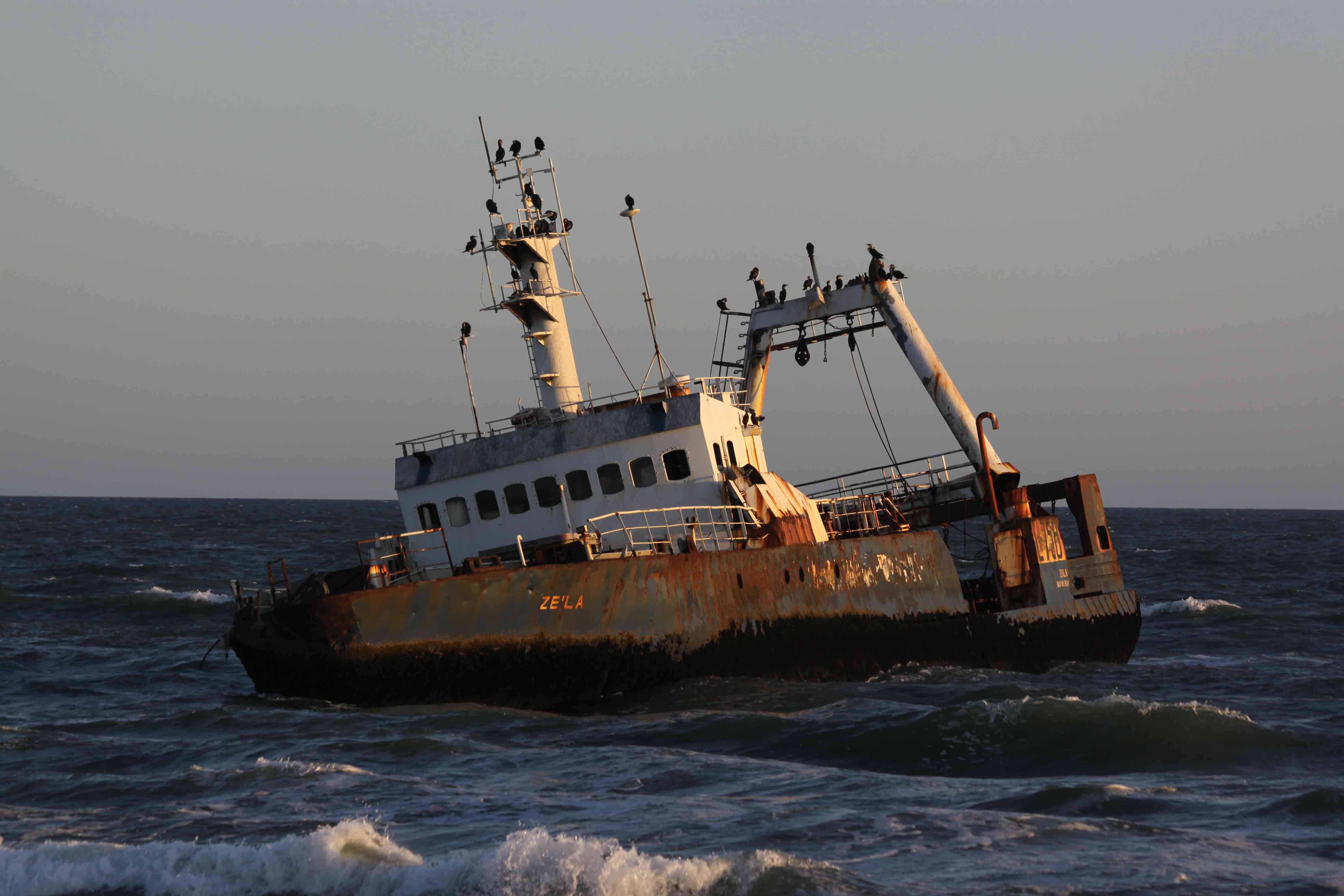
We map and interpret active tectonic structures, such as synsedimentary faults in marine and lacustrine basins, using geophysical tools such as (high-resolution) reflection seismics, side-scan sonar imagery and multibeam bathymetry. Often these are tectonic basins, e.g. pull-apart basins in strike-slip environments. Furthermore, we examine co-, post- and inter-seismic tectonic deformation using satellite interferometry (InSAR).
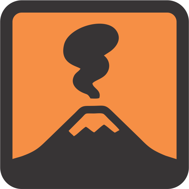
We reconstruct (pre)historical activity of volcanoes by studying volcanogenic layers that are deposited in lake sediments, such as tephra air-fall and lahar deposits. While distal deposits of major regional eruptions can help to determine the size of these catastrophic events, proximal deposits of nearby volcanoes allow to reconstruct a complete eruptive history of those volcanoes. Lahars, or volcanic mud flows, often pose the main hazard for communities near volcanic edifices. We also try to understand the dynamics of degassing processes in crater lakes, which can be used for monitoring volcanic (un)rest.
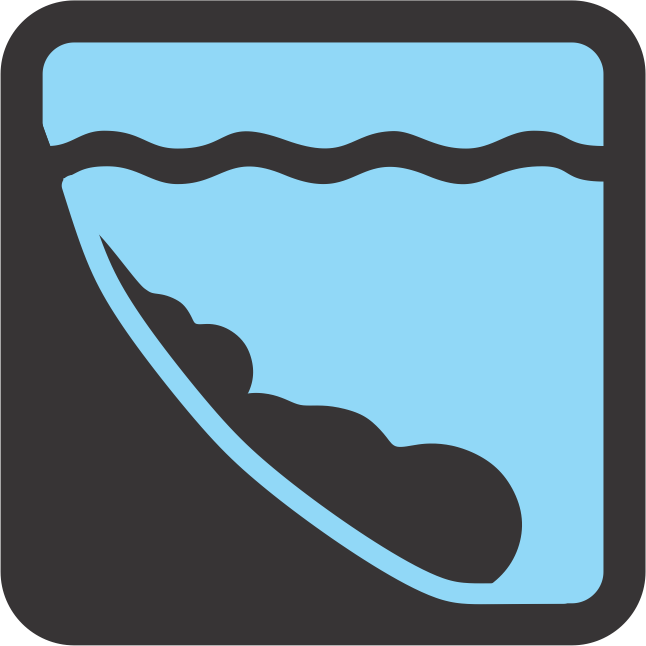
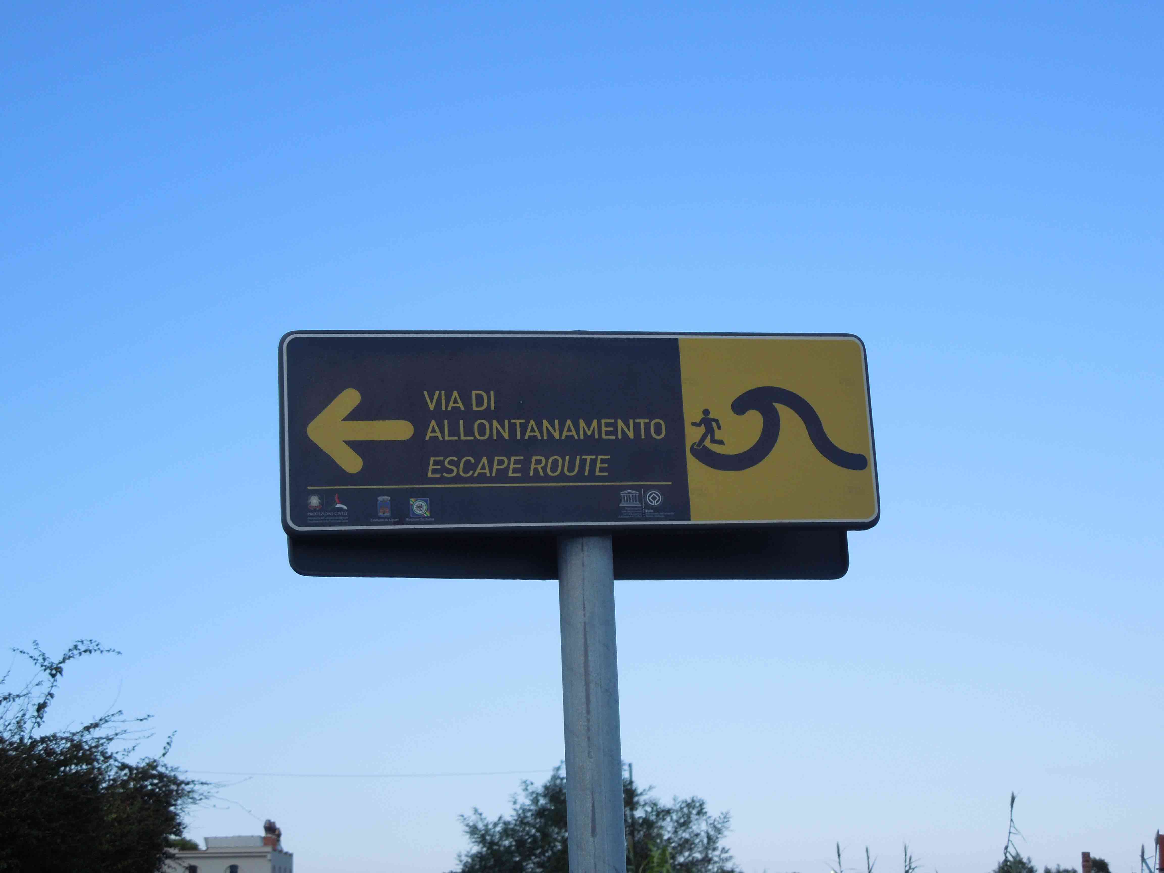
We study tsunami deposits in coastal lakes along active subduction zones. As a tsunami overflows beaches and dunes, it erodes and transports their sands, which can then be deposited in coastal lakes. By detecting, characterizing and dating these sand layers, we can reconstruct the tsunami history of region. We use a similar approach in the study of the deposits left by tsunamis in the marine realm, on the shelf and in embayments. Understanding the patterns of prehistoric tsunami recurrence – often linked to earthquake recurrence – allows to better estimate the current tsunami hazard for coastal communities.
© Imperial College London/Chase Stone
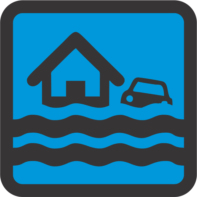
Different types of floods can leave their traces in the sedimentary record. In glaciated regions we reconstruct the history of glacial-lake outburst floods by studying their deposits in river plains, lakes and fjords. However, in these and other settings also flash floods, triggered by autumn storms, cause turbidites in lake sediments. As global warming is thought to increase the frequency of extreme climatic events such as floods, a better understanding of their past occurrence allows to produce improved hazard assessments.
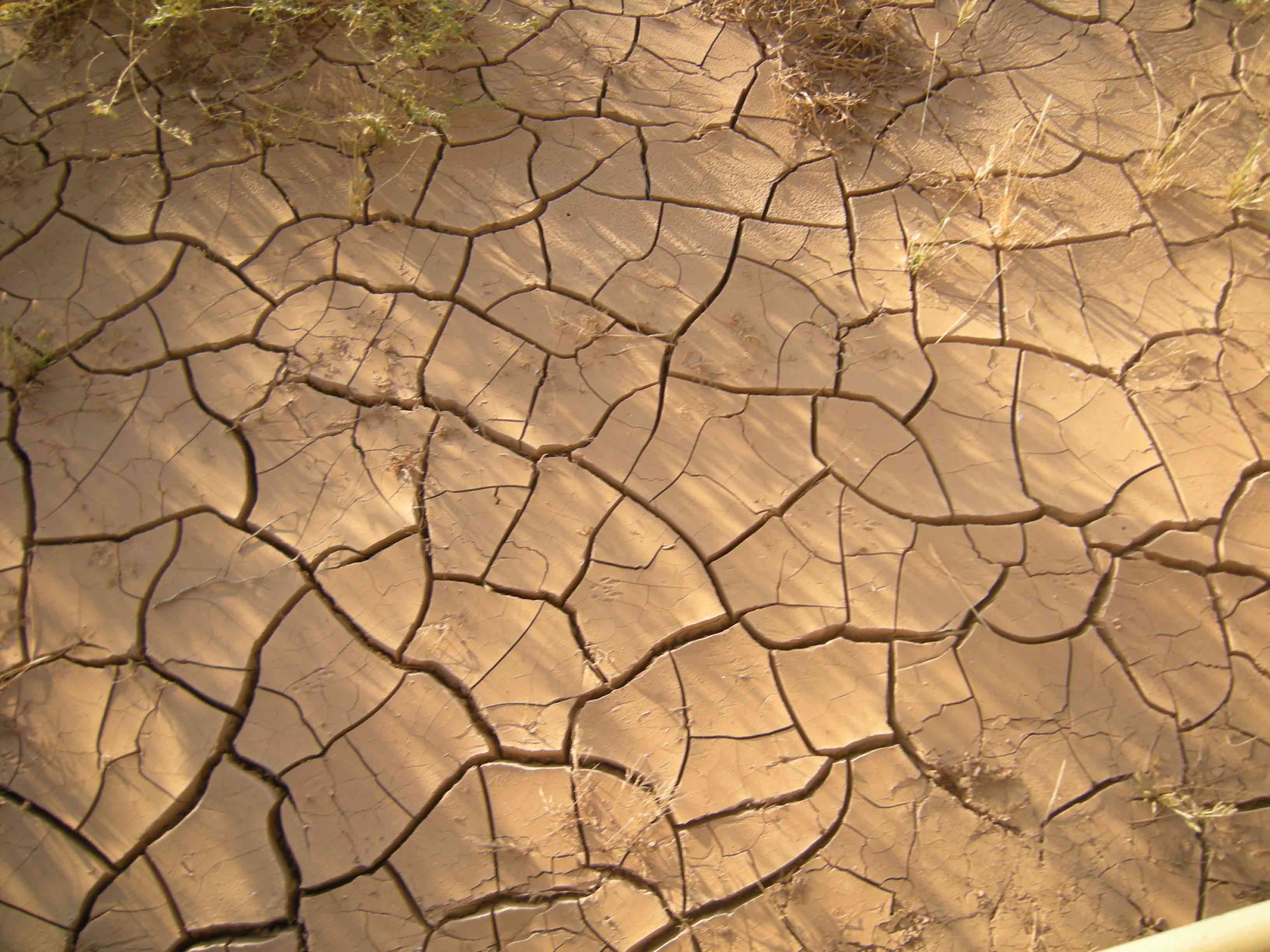
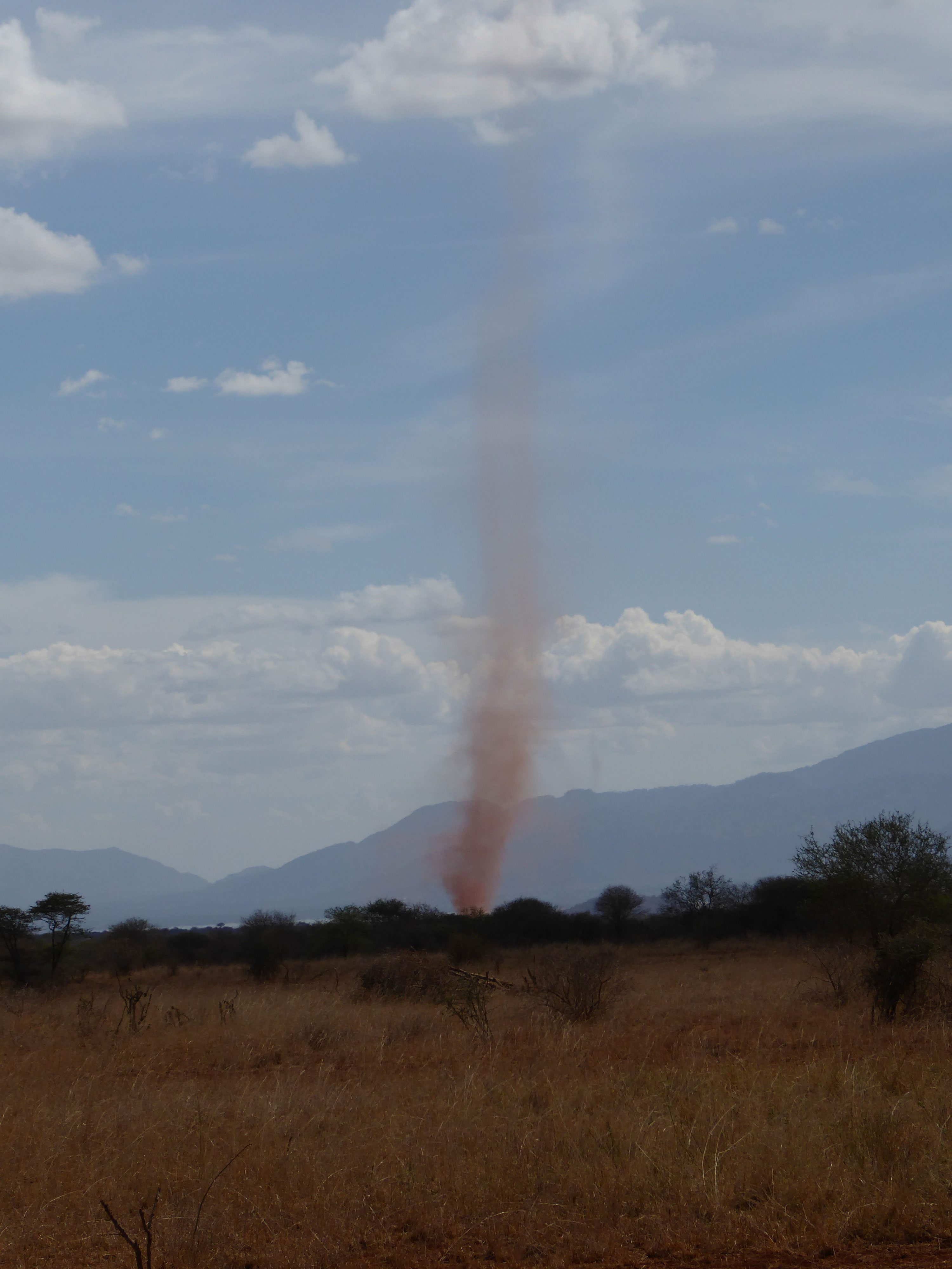

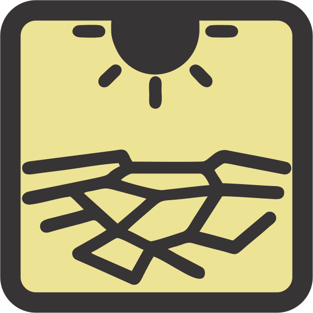
Lake systems are very susceptible to extreme droughts, as such “events” strongly influence their water balance, while also the dust flux often increases (depending on the environment). We study extreme droughts in tropical regions using grain-size, mineralogical and geochemical analyses, as well as lake-level reconstructions based on seismic data. As global warming is thought to increase the frequency of extreme climatic events, such as extreme droughts, a better understanding of their past occurrence allows to produce improved hazard assessments.
5 March 2022: Welcome to Yuwei Zhang!
Yuwei Zhang from the Institute of Tibetan Plateau Research of the Chinese Academy of Sciences in Beijing will be joining our research group for one year as an exchange PhD student. She will be investigating Lake Buqun in SE Tibet for paleoseismic purposes, in collaboration with Marc De Batist and Maarten Van Daele.
9 December 2021: New project awarded!
The Belgian Science Policy Office will be funding the NORSEAT (“Storegga and beyond – North Sea tsunami deposits offshore Shetland Islands”) project with 630 kEUR. Marc De Batist, Maarten Van Daele and an international team of experts will be using the new and state-of-the-art RV BELGICA II to study the offshore deposits of North Sea tsunamis around the Shetland Islands.
5 November 2021: Join us at the SSA Annual Meeting 2022!
Maarten Van Daele will be co-hosting a scientific session at the 2022 annual meeting of the Seismological Society of America in Bellevue, Washington (USA).
Submit your abstracts to the "Shakes in Lakes: Frontiers in Lacustrine Paleoseismology" session now!
For details and deadlines, visit the meeting website
...
Click here to view all newsitems
Sedimentary geologist who has been studying marine and lacustrine sediment archives as recorders of past fault activity, earthquakes, tsunamis, and other geohazards for more than 25 years.
E-mail: Marc.DeBatist@UGent.be
+32 (0)9 264 4587
Sedimentologist with focus on turbidite sedimentology in lakes and other (semi)enclosed basins. Calibration of turbidite characteristics for their qualitative and quantitative use in mostly paleoseismic records, but also flood and lahar records. Particular analytical interest in X-ray (micro) computed tomography (CT).
E-mail: Maarten.VanDaele@UGent.be
+32 (0)9 264 4637
Paleoclimatologist and sediment geochemist interested in Holocene climate variability and associated environmental changes, with a particular focus on southern South America. Research includes the reconstruction of flood intensity, volcanic eruptions and seismic activity using lake and fjord sediments.
E-mail: Sebastien.Bertrand@UGent.be
+32 (0)9 264 4591

Sedimentologist interested in characterizing the clastic fraction deposited in lacustrine and marine sediments. By using grain size, mineralogy and other proxies the source and transport pathways of the clastic fraction can be fingerprinted and are used to identify climatic events, like droughts, floods and storms in the sedimentary record.
E-mail: Inka.Meyer@UGent.be
+32 (0)9 264 4591
Paleoseismologist using lacustrine records of landslides and turbidites in Chile and Indonesia to reconstruct past crustal and megathrust earthquakes. Further research includes ground-motion modelling for seismic hazard assessment and the use of InSAR data to determine co- and interseismic deformation.
E-mail: Katleen.Wils@UGent.be
+32 (0)9 264 4573
Sedimentologist and paleoseismologist focussing on event deposits as recorded in lake sediments by using sediment cores and seismic stratigraphy. Previously worked on flood reconstruction of proglacial rivers in Chilean Patagonia, including a comparison with existing paleoclimate and glacier variability records to investigate possible relations with flood occurrence.
E-mail: Stijn.Albers@UGent.be
+32 (0)9 264 4573
Sedimentologist studying turbidites triggered by geo- and climate hazards using X-ray CT scans and integration with other datasets.
E-mail: Kamill.Lisson@UGent.be
+32 (0)9 264 4573
Geoscientist using fjord and lake sediments, remote sensing, and historical archives to investigate past glacier dynamics with a particular focus on Glacial Lake Outburst Floods.
E-mail: Loic.Piret@UGent.be
+32 (0)9 264 4566

Geographer using lake sediments to reconstruct paleoclimate variability and paleoseismic events during the Holocene, focusing on the Tibetan Plateau.
E-mail: Yuwei.Zhang@UGent.be
+32 (0)9 264 4573
© UGent